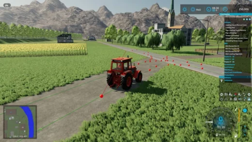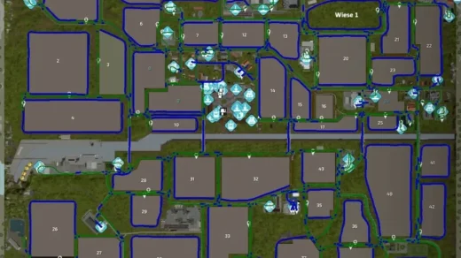
The route network was run in completely by Der_Renter_Marc for map FOUR LAKES FARM. Only the main roads were generated from the splines by AD. Various control drives and optimizations were carried out by me.
It was tested by both of us with various vehicles, but of course it can still happen that it doesn’t fit 100% in one place or another.
Please report this to us so we can correct it or correct it for yourself.
The map is designed for large vehicles, trailers & Co. So there shouldn’t be any restrictions.
The following has been brought in:
– All roads, field and forest paths as well as all associated crossings and junctions including priority rules
– in the yard all unloading and removal points, bunker silos, stables and pastures, parking lots, workshop, etc.
– all fields & meadows including catch lines
– all productions as well as purchase and sales points
– BGA including all bunker silos
– Gas station and water points
Note: the appropriate map and vehicle settings have already been stored as defaults in the config. You can use the “Restore” button to transfer them to existing ones.
Otherwise: activate folders, collision height above ground at 2.25m, collision detection at “FS 19”, max. silo distance at 25m, field exit closest
Abbreviations at the destinations:
Anl. = delivery, unloading
Ent. = removal, collection
EK = purchase
VK = sale
Credits:
Kurse erstellt von: Der_Rentner_Marc
Optimierungen: Iwan1803


