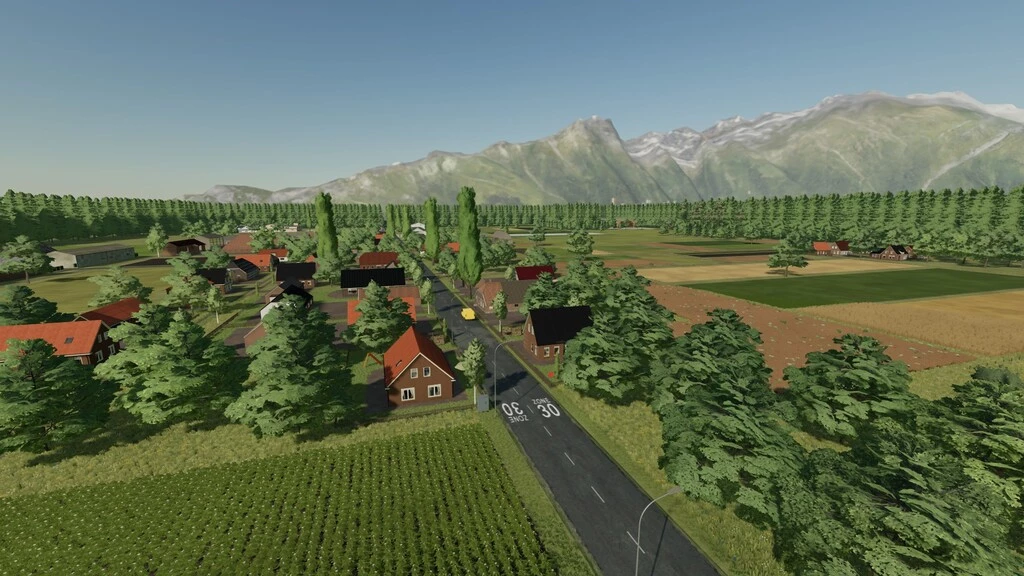
Welcome to the village of Bellingwolde.
This village is a village in the municipality of Westerwolde, Netherlands.
It is located in the southeast of the Oldambt region, in the north of the Westerwolde region and in the east of the province of Groningen, on the border with Germany.
It was inspired by the village structure.
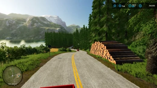
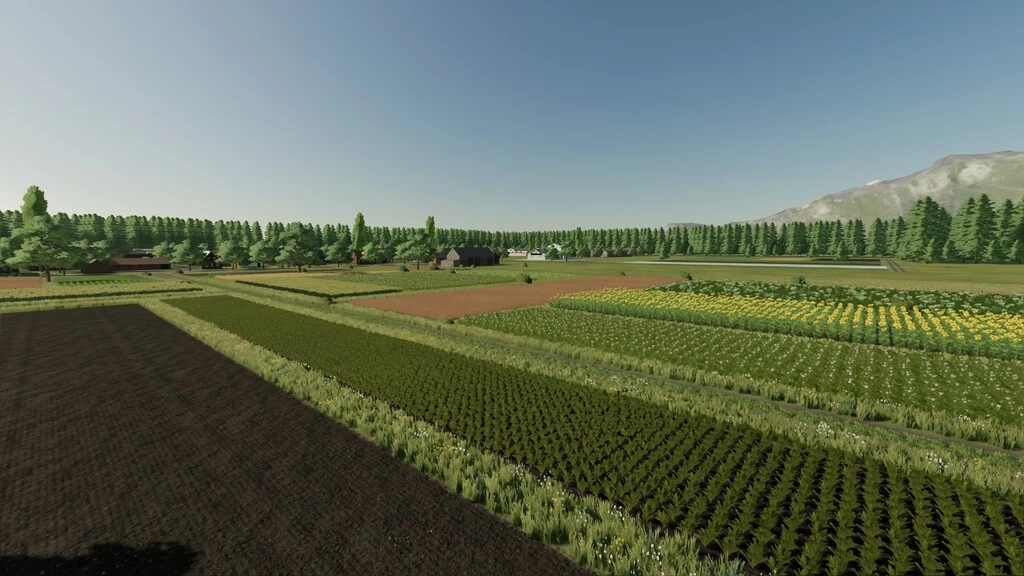
– There are 58 fields.
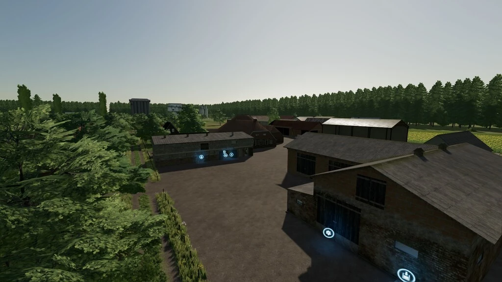
– 1 small bga.
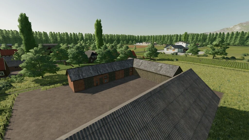
– 1 main farm.
– 1 Small farm.
– There is a land for animals. It is the land where animals such as sheep, cows, pigs and chickens live.
Changelog:
Credits:
AE MAPING
Download mod
| File | File size |
|---|---|
 FS22_Bellingwolde
|
136 MB |