
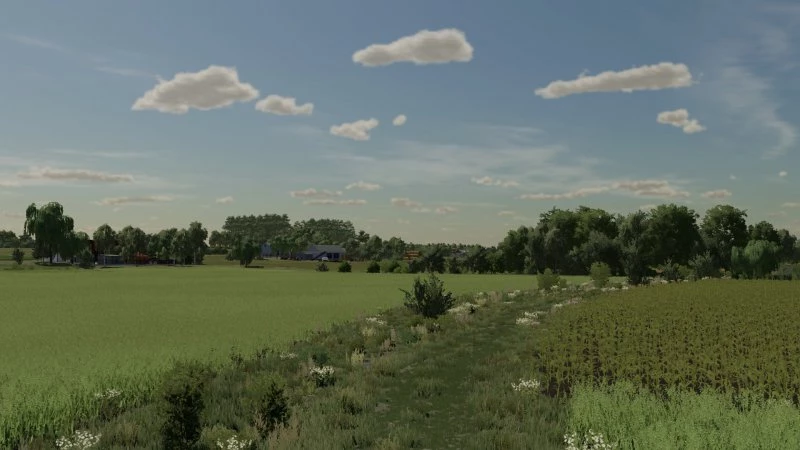
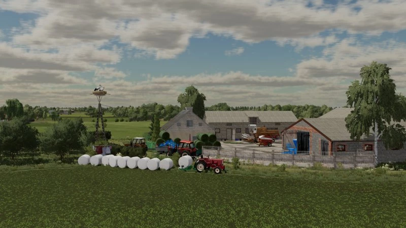
The map was created on the basis of the area near the Gostynińskie Lake District – a region that stretches between Gąbin, Gostynin and Włocławek, on the left (southern) bank of the Vistula. In the area there is a Landscape Park rich in beautiful lakes and forests. However, the areas of the commune located near the commune of Gostynin are intensively exploited for agriculture. The map was created on the basis of x4 with real terrain and grid from Google maps.
It has:
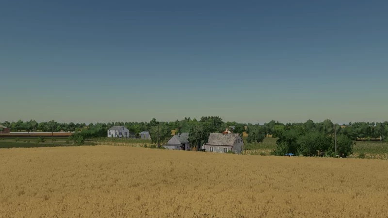
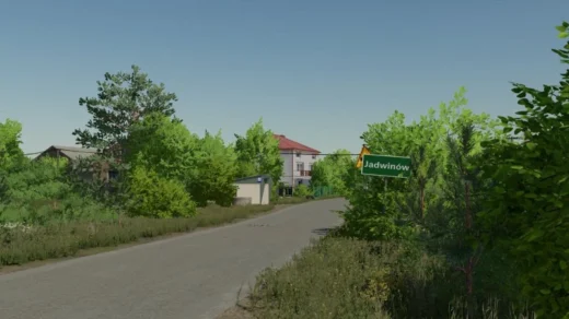
– 4 villages
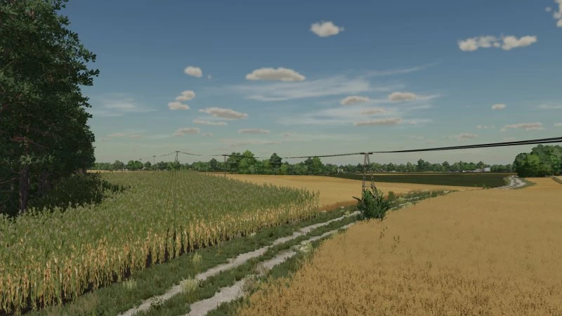
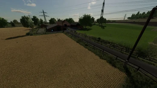
– 250 agricultural fields
– 258 fields, including several dozen meadows
– several smaller forests
– 4 farms
– 13 purchases
– changed tree textures
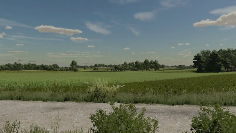
– New terrain painting textures
– crop textures with additional stubble compaction
– multiterrain
– Traffic
– Polish sowing dates
– 3 types of Polish registrations (black, with a flag and current)
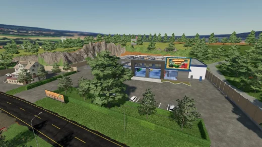
– Agrome, CPN and sawmill
– A place to buy lime and UAN
– 5 additional crops (Rye, Triticale, Green Rye, Limb and Alfalfa)
Credits:
Paw3ll
Download mod
| File | File size |
|---|---|
 FS22_PojezierzeGostyninskie
|
683 MB |
Jestem z Gostynina, zaraz przetestujemy twoją mapkę ;]
Pozdro